🛶 Trip details
Length: 12.0 km (4-6 hours)
Type: Round trip
Best for: A peaceful getaway, slow-pacing paddling through beautiful river pathways.
Level: Beginner-plus / intermediate paddlers (distance, mild wind, occasional boat traffic). Suitable for beginners with shorter variations and low wind conditions.
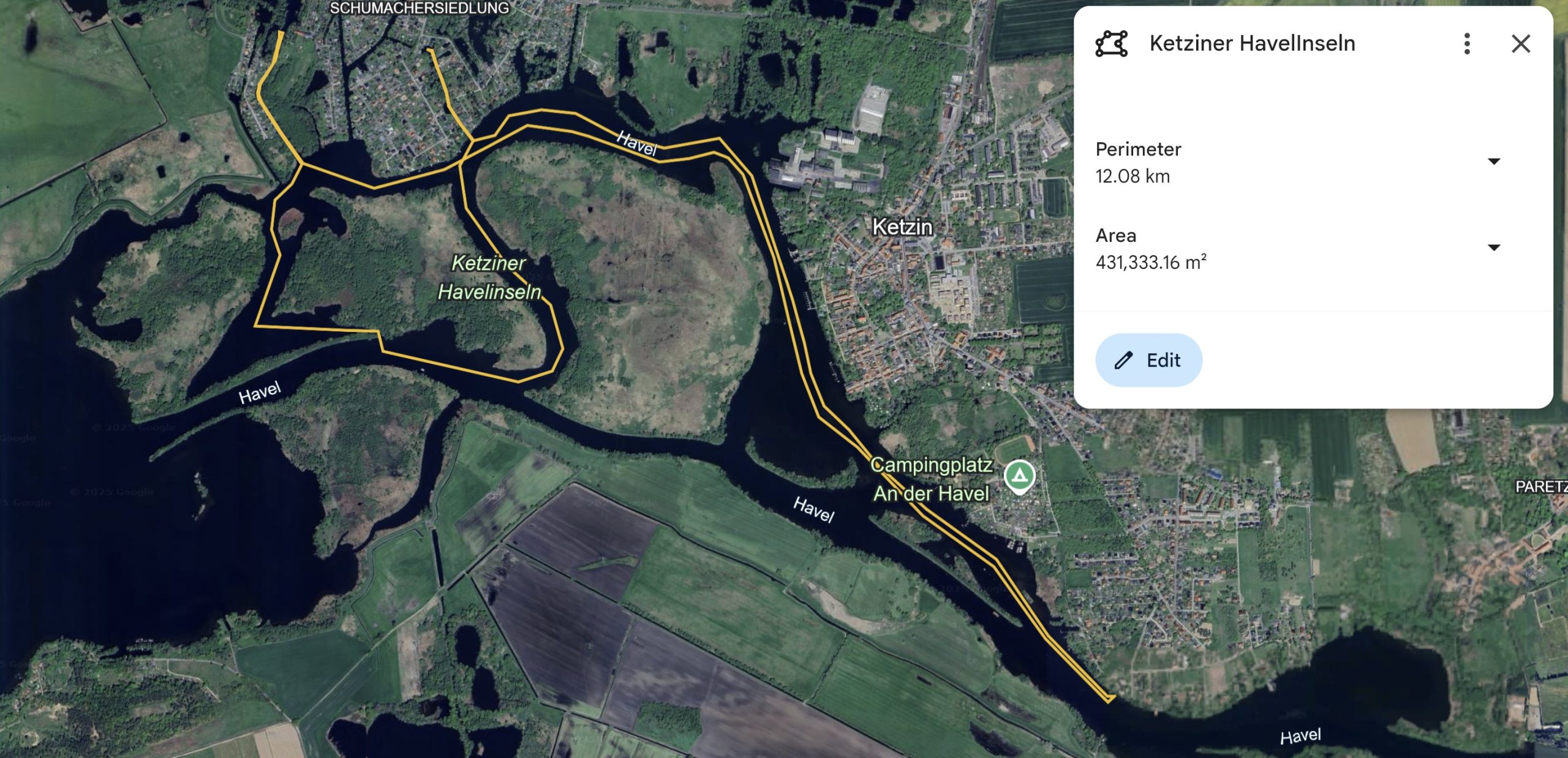
Location: Havel River, near Ketzin, Brandenburg
Start/End: Café “An der Fähre” (by car) / Slipanlage – Ketzin (by public transport)
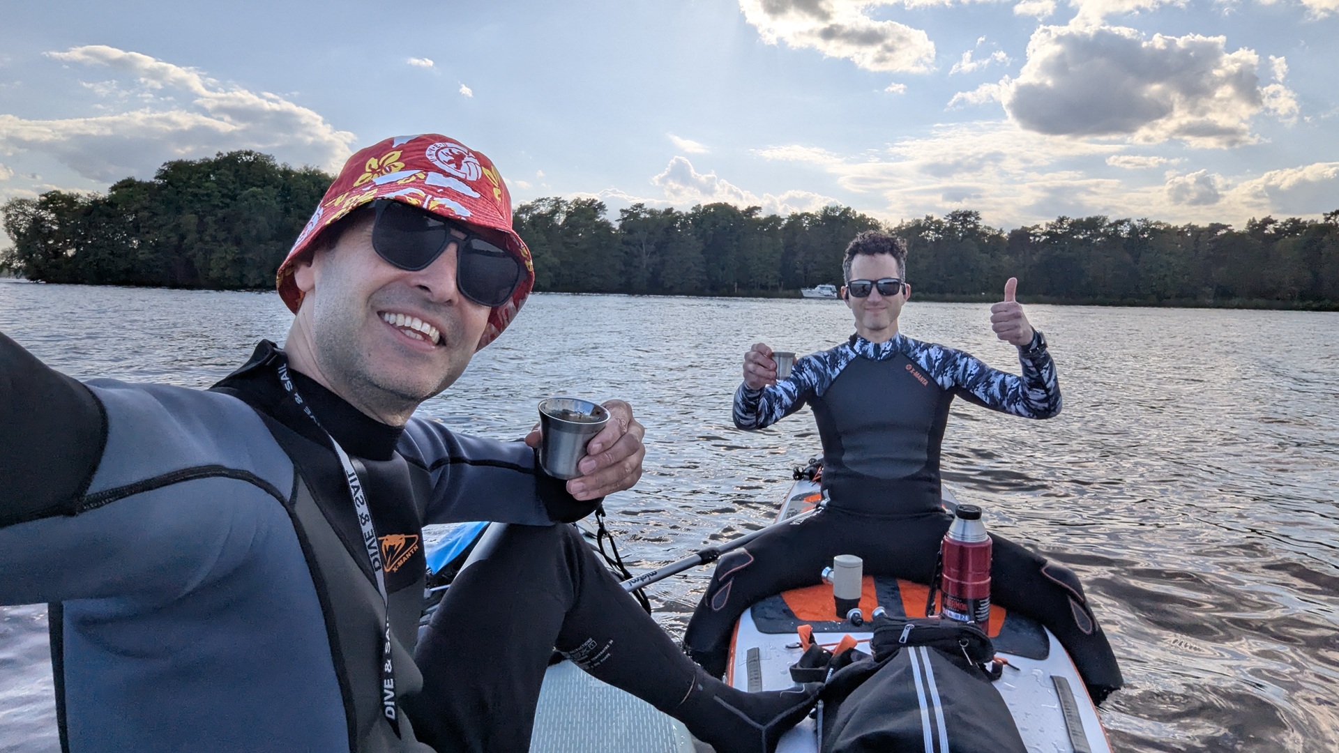
About: Escape the city and explore the peaceful waterways around the Ketziner Havelinseln — a network of forested islands, wetlands, and calm Havel currents. This round trip takes you around a protected nature zone with rich birdlife, quiet channels, and wide river views.
Ideal for slow, mindful paddling, this route offers a balance of open stretches and winding passages. Expect storks, swans, and total stillness between the reeds. It’s an experience less about speed and more about presence — a Havel classic for nature lovers.

🧭 Route Directions
- Launch from Café An der Fähre (if by car) or Slipanlage Ketzin (if by public transport). Both offer easy water access and space to prepare gear.
- Paddle west and loop around the southern edge of the Ketziner Havelinseln.
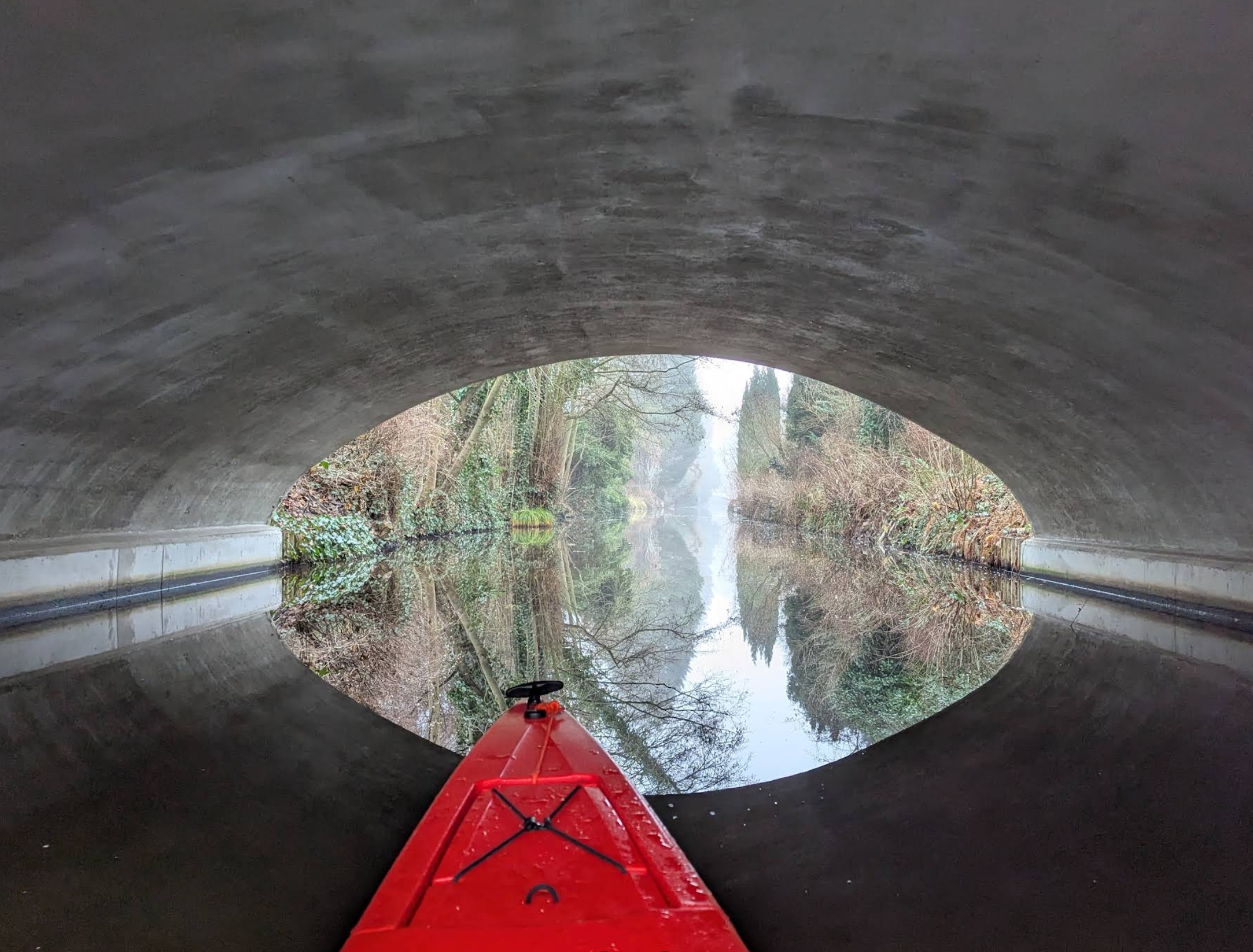
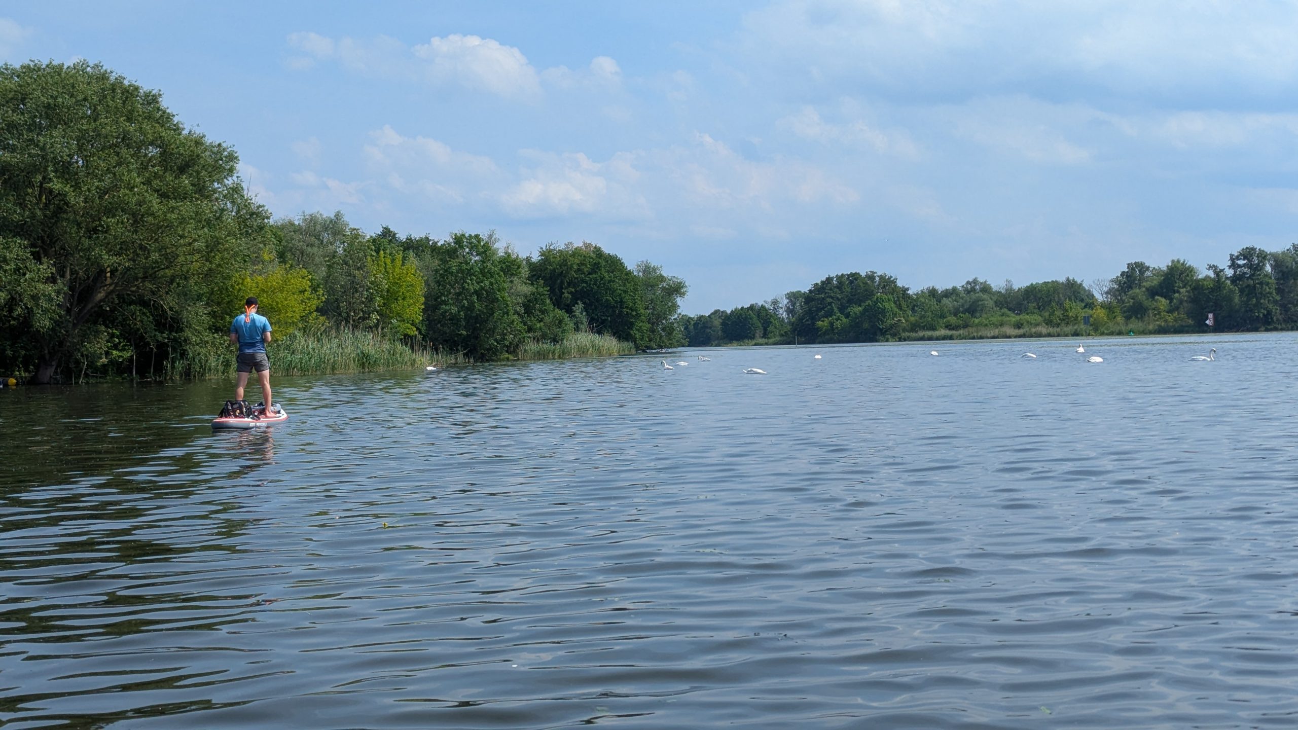
- Enter the small channels between the wooded islands. These are narrow, calm, and filled with birdsong — keep an eye out for herons, storks, and grebes.
- Continue around the westernmost tip and trace the edge of the nature reserve.
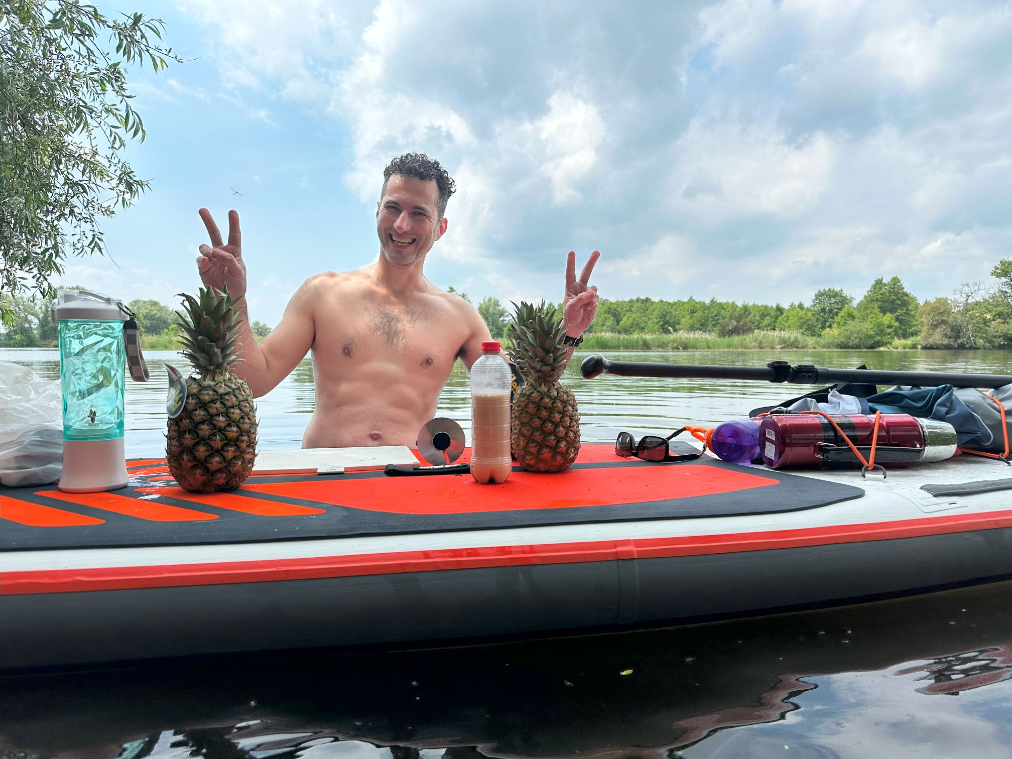
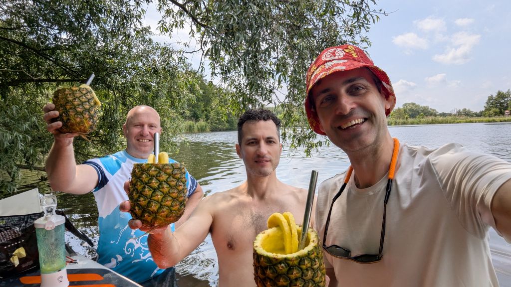
- Pass by the southern fields and open marshland, a perfect place for a mid-trip snack break — either on board or on a natural bank.
- Turn north and rejoin the Havel’s main current, looping east toward Ketzin.
- Paddle back along the northern edge of the islands, through a slightly wider stretch.
- End your trip where you started — you’ll return with a full heart and maybe a bit of sun on your nose. If you’re into exploring, you can make a detour into one of the numerous man-made canals along the northern shore, and paddle through a serene neighborhood of beautiful waterfront houses.
⚠️ Safety & Conditions
- Wind: The open Havel stretches can be exposed, especially to northwest winds. Check the forecast and avoid paddling in gusts over 25–30 km/h.
- Boat traffic: Expect slow river boats and occasional tour vessels, especially near Ketzin ferry crossing. Stick to the shore when needed.
- Nature protection zones: Parts of the Havelinseln are off-limits to landing or entering. Respect signage and nesting areas.
🚗 Logistics: Launch & Access
Launch Zone:
- Café An der Fähre (car) or Slipanlage Ketzin (PT) — both have nearby grass, easy entry points, and nice spots to grab a coffee or snack.
By car:
🚙 Parking available near the Café An der Fähre restaurant or nearby residential streets. Check signs for restrictions. If you park at the restaurant, ask inside for permission — and grab a coffee or snack while you’re there. It’s also a great place to have lunch / dinner after the trip; great food and atmosphere, welcoming people!
By public transport:
🚉 Train to Wustermark → Bus to Ketzin
🚶 Walk ~10 min to Slipanlage Ketzin
📍 Noteworthy spots nearby:
Ketzin ferry – optional end-point or quick sightseeing detour.
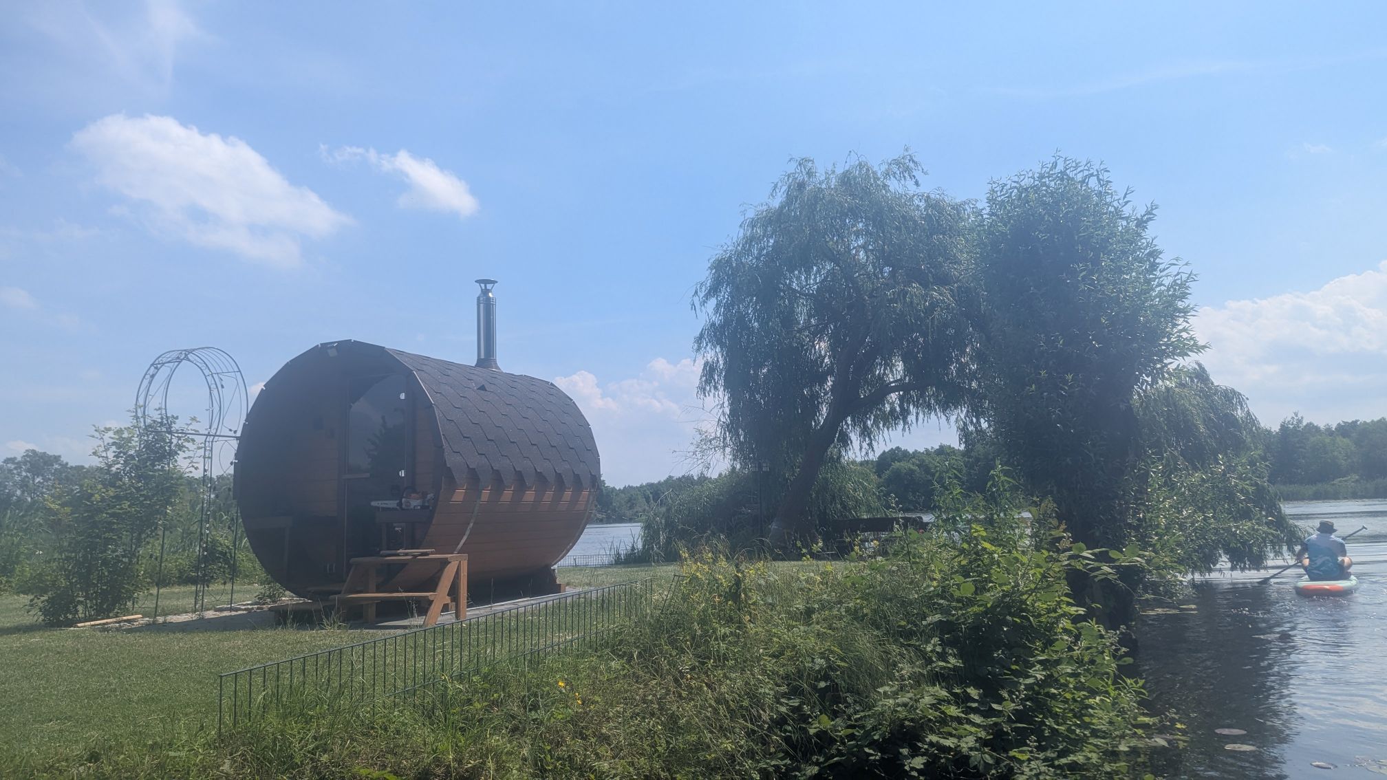
Campingplatz An der Havel – small campsite with café, restrooms, and river access.